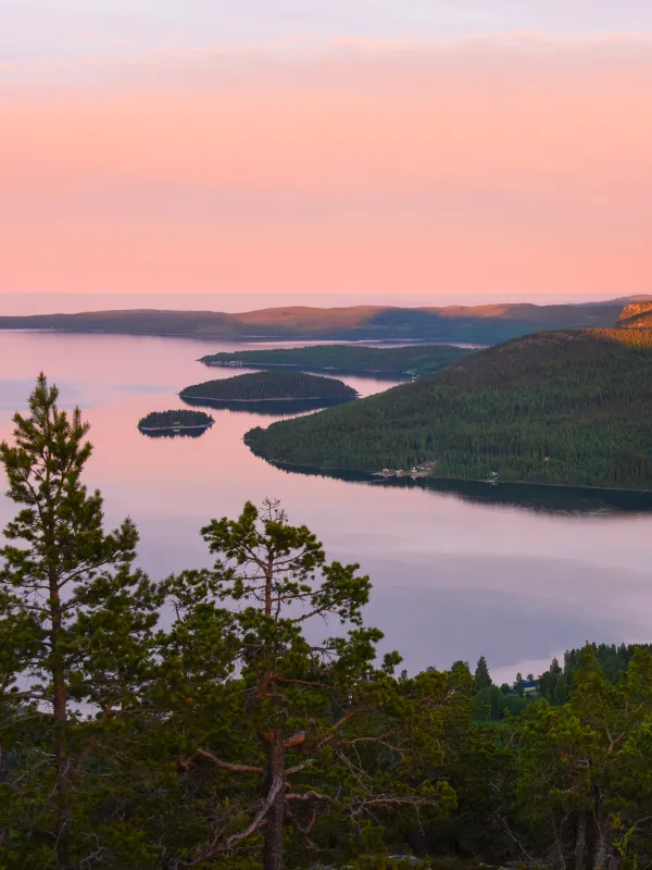
After a short climb from Ullånger you reach Mäjasjöns fäbodar an old homestead. The dozen or so buildings here have been collected from various parts of the region and reverently rebuilt on site. The hiking trail between Mäja and Docksta follows the old coastal road. Do not miss the detour to the top of Fäberget. The approximately 1.5 kilometers up to the top is recommended.
Further along the trail you will soon reach Docksta, which offers most of the services you might need. Grocery store, hardware store, gas station, restaurants and accommodation facilities.
Shortly after Docksta village, the hike begins on Skuleberget mountain, an iconic landmark in the High Coast that offers a magical view. On the mountain there are traces of the highest coastline after the ice age and in fact Skuleberget today has the highest coastline in the world at 286 meters above sea level.
- Get to the start
-
Transport: Bus stop Ullånger.
Time tables can be found at www.dintur.se.
The section starts in the center of Ullånger. Parking is available behind OKQ8 (commuter parking). This is a suitable starting point if you want to hike part of the trail. A suitable end point can be Köpmanholmen where you can take a bus back to Ullånger via Örnsköldsvik.
- Maps
-
Download the Höga Kusten app for maps in your phone.


